Portfolio
A Sample of Projects Performed
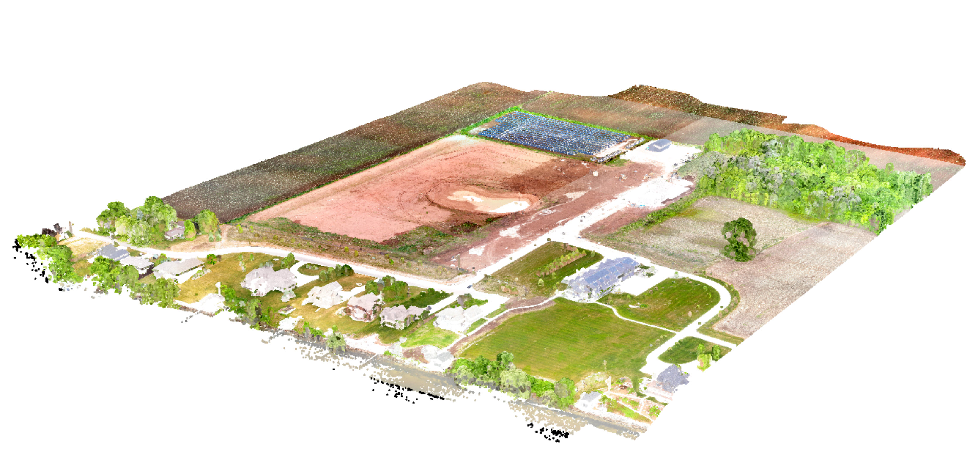
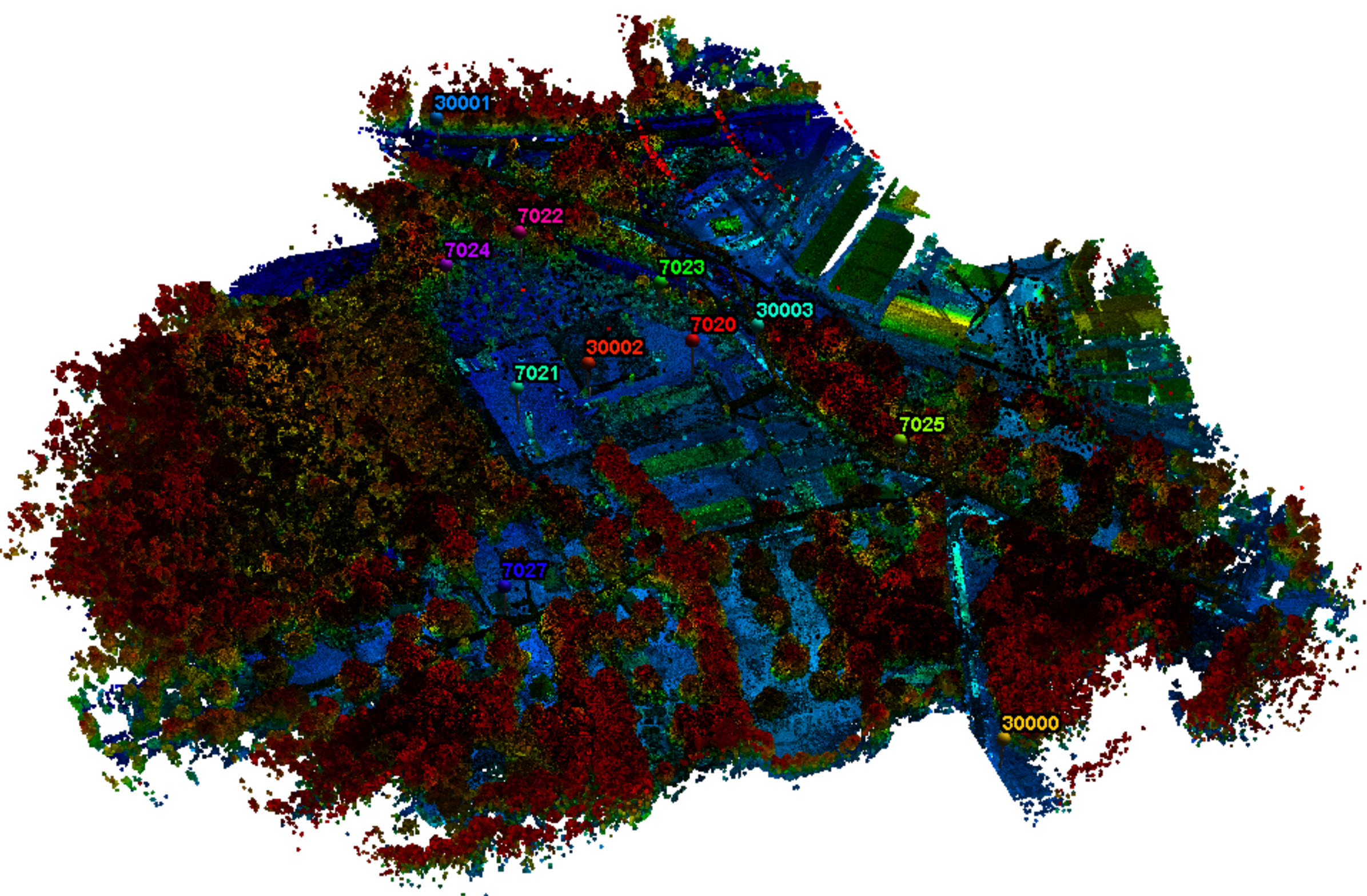
Colorized Point Cloud
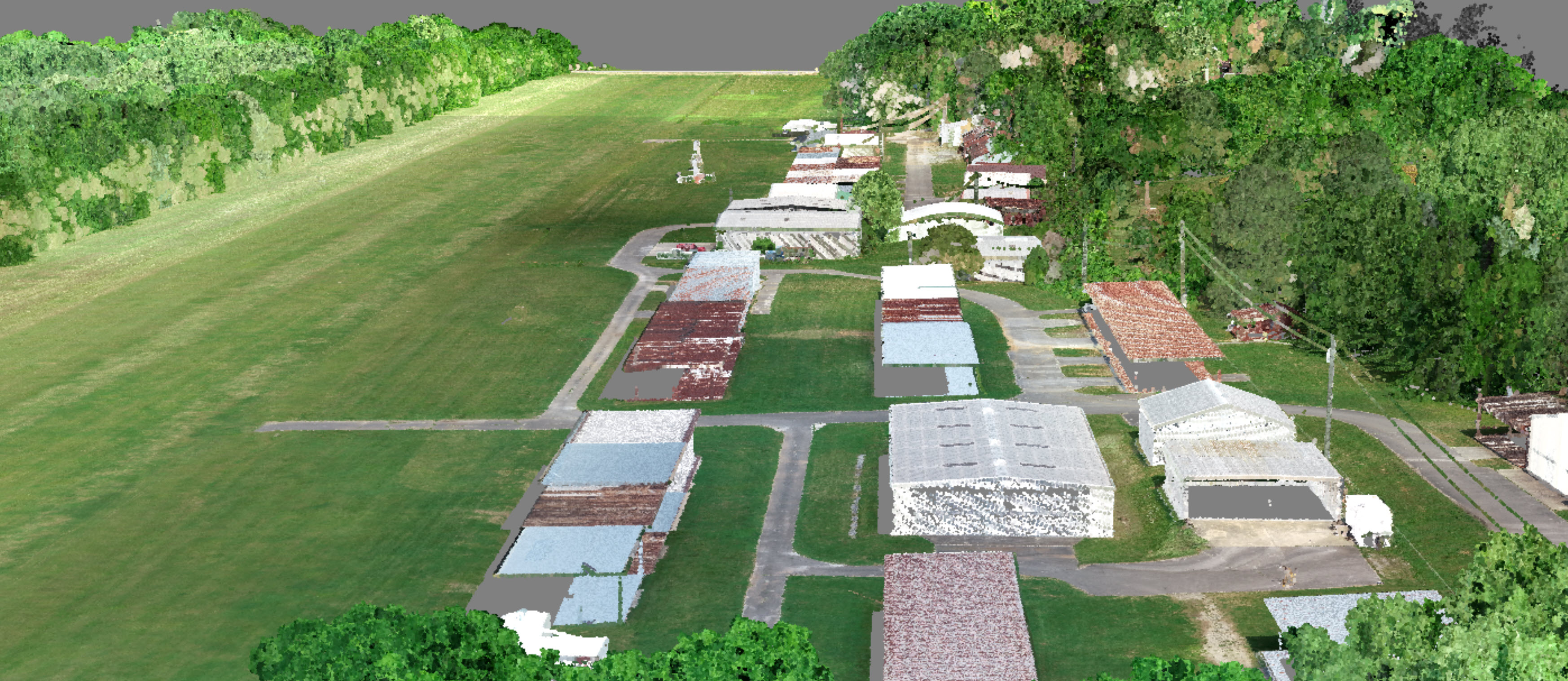
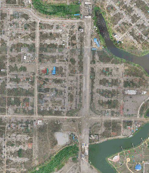
Moontown Airport
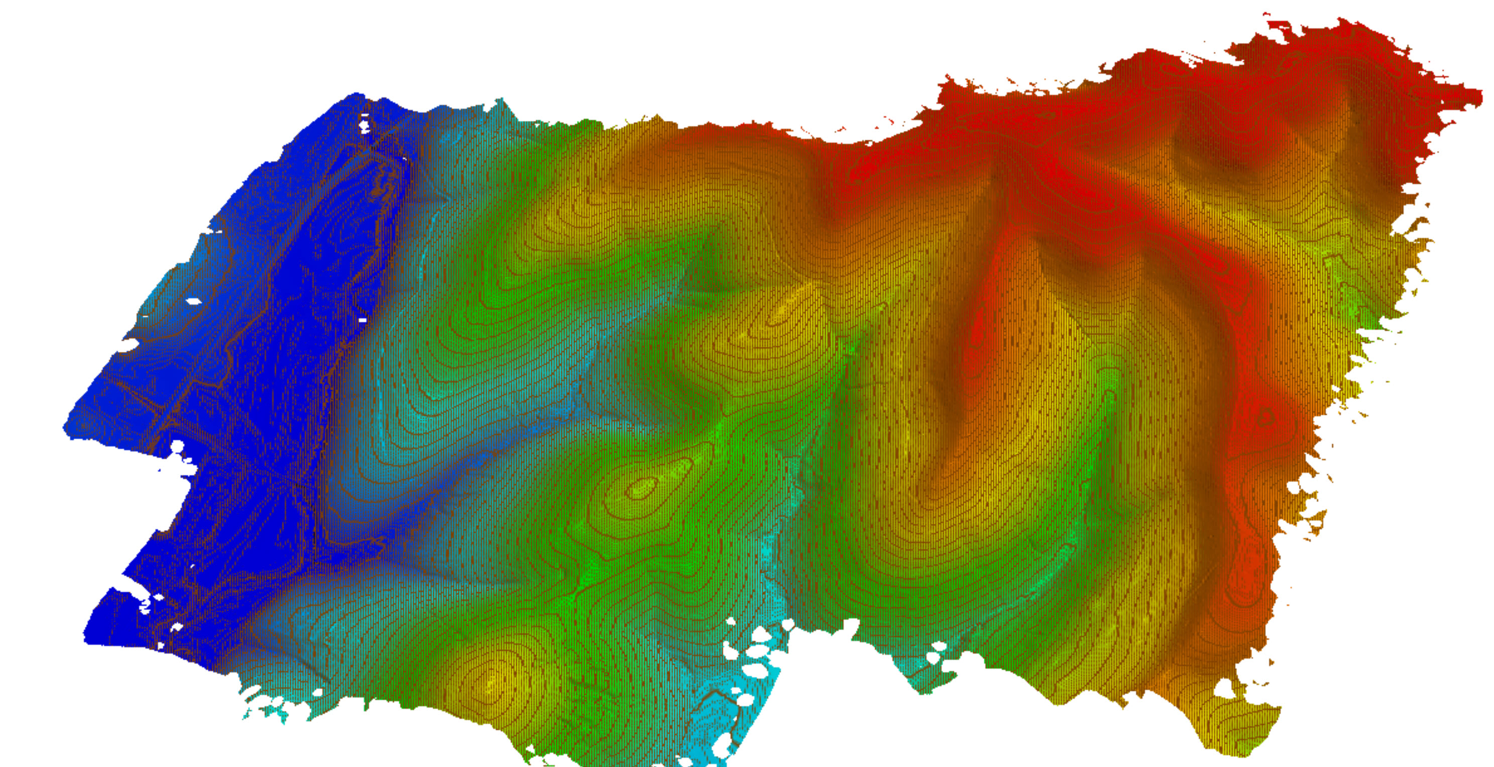
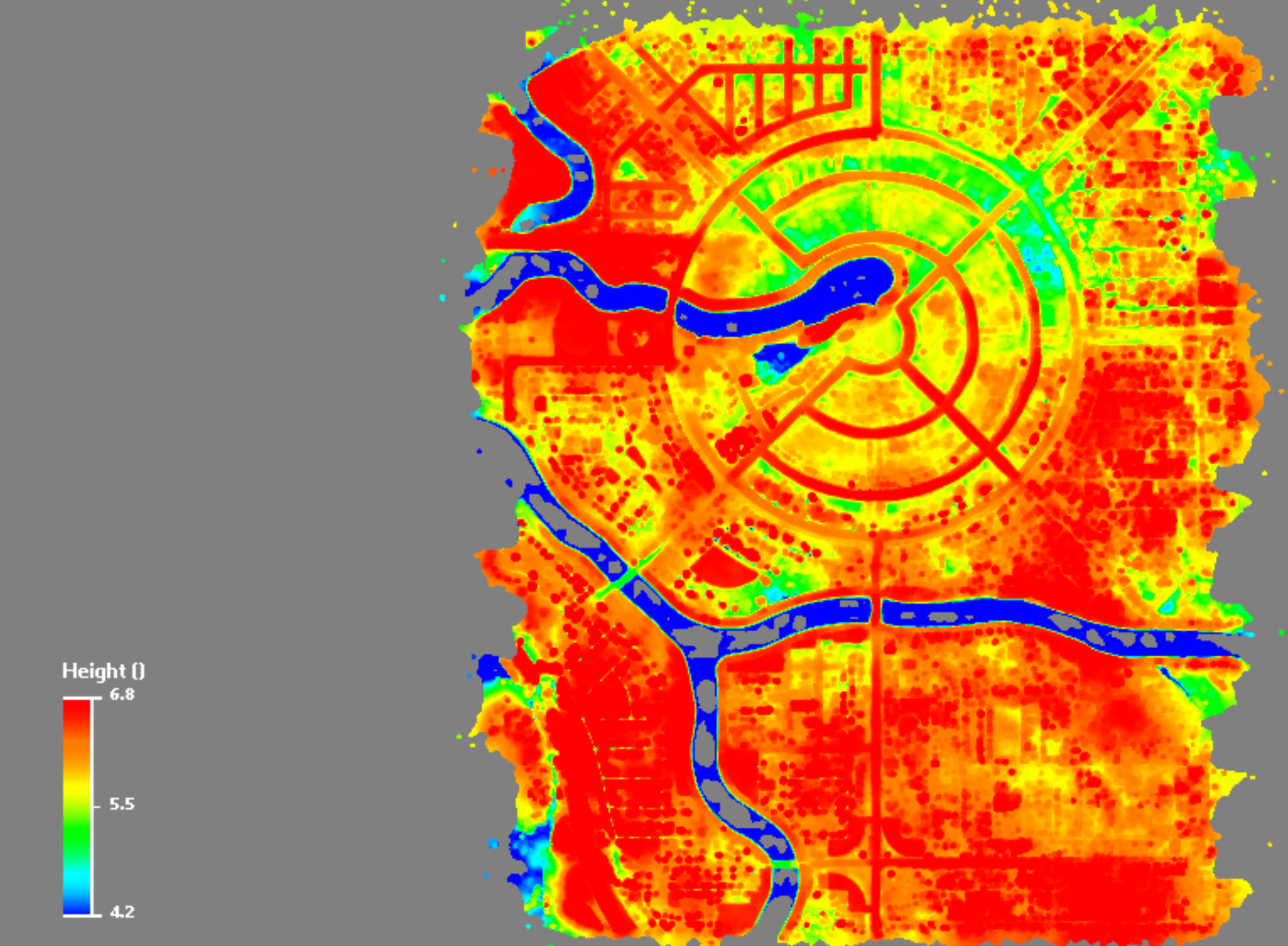
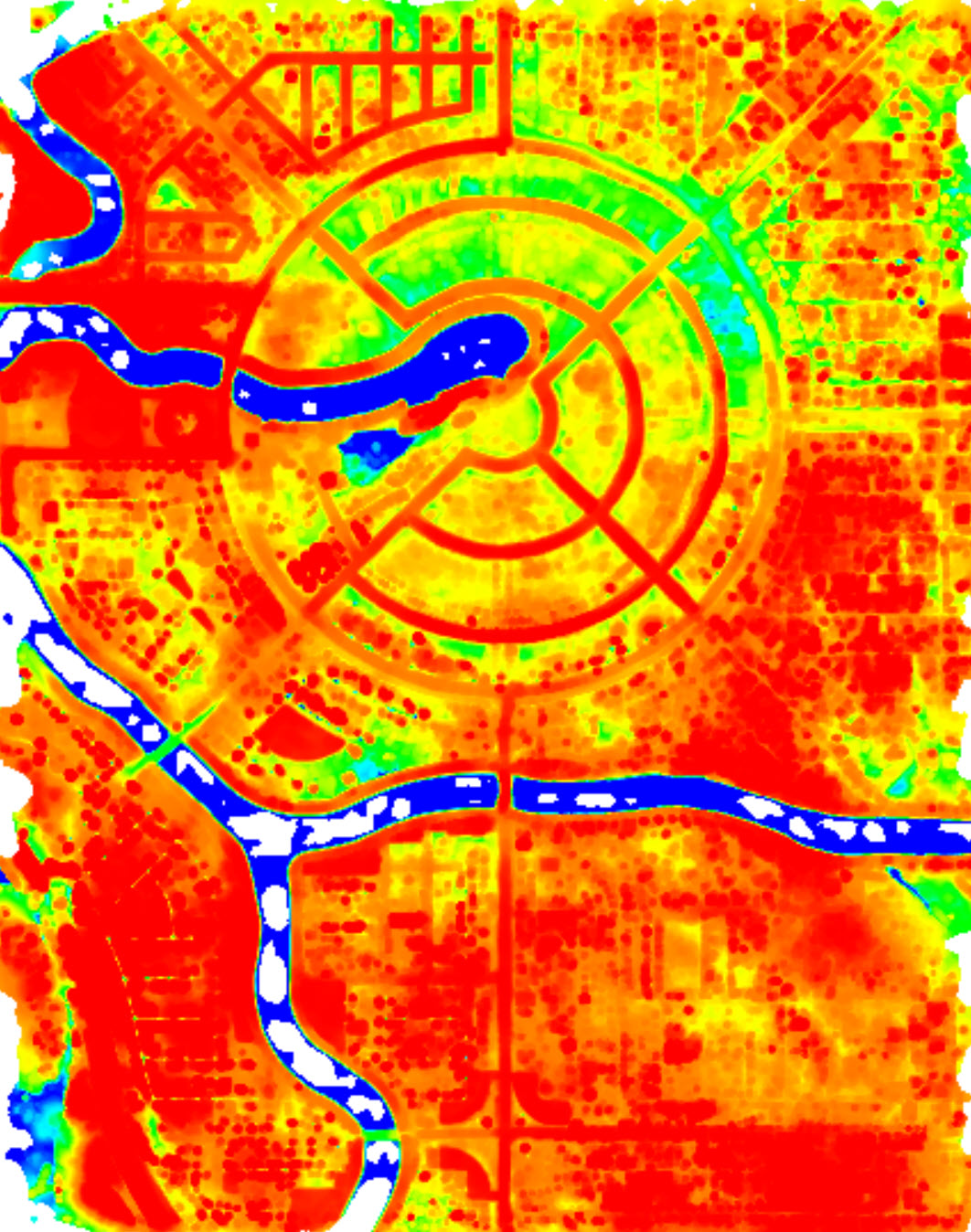
Contours
Drainage Study
Bowman data
Customer Data Processing
Survey of Bangladesh
Training in Dhaka
Survey of Bangladesh
Training in Dhaka
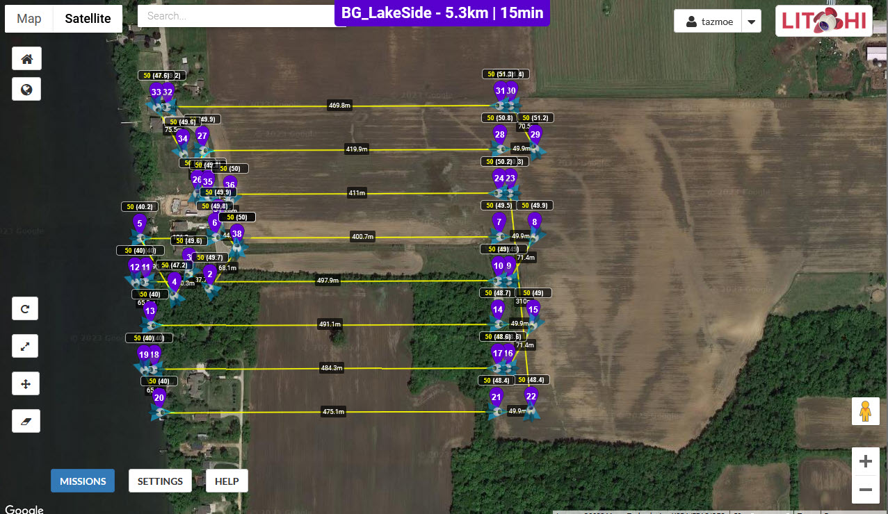
UAV Flight Plan
LiDAR Project in Wisconsin